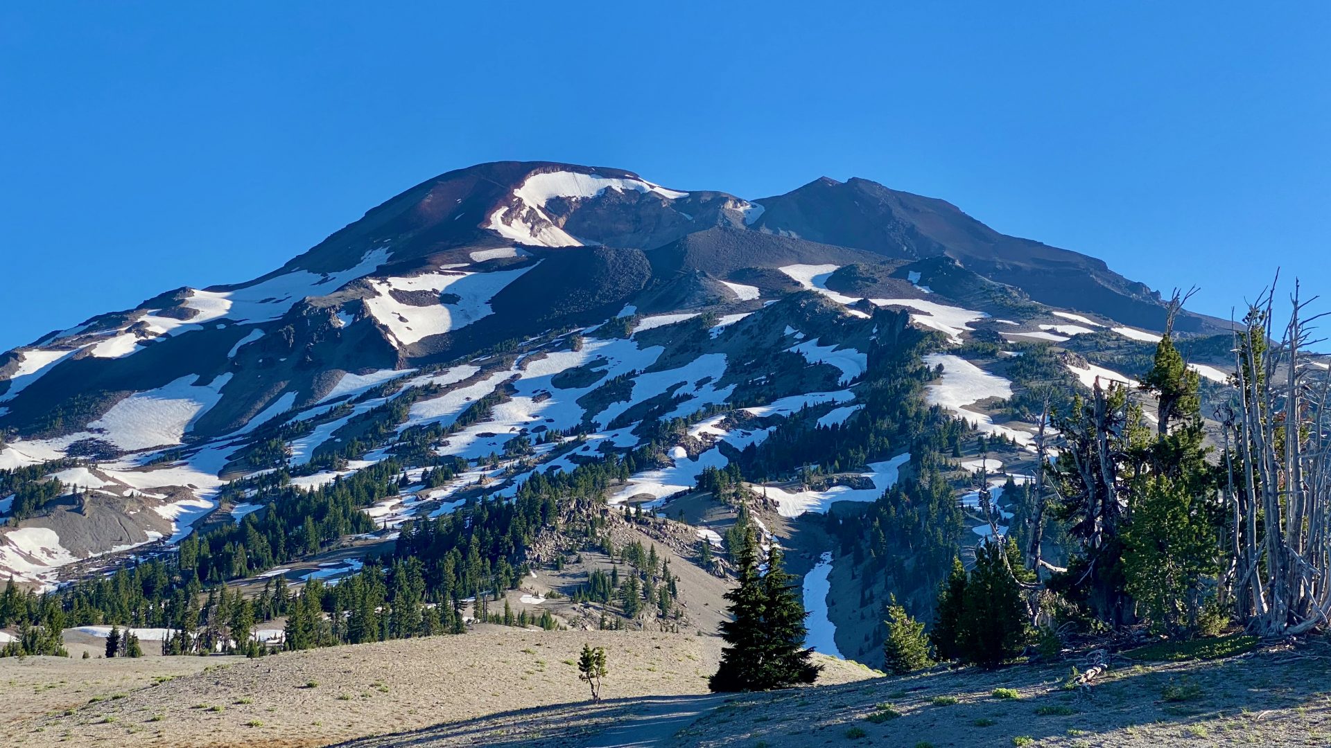
Hiked up South Sisters, Oregon on Jun 29th. South Sisters is the 3rd highest mountain in Oregon at 10,358 ft. The hike was 16.5 miles up and back and ~5000 ft. elevation gain. Lots of snow left despite the recent heat. In fact, so much snow in the crater at the top I couldn’t get around to the true summit. Only a few hundred feet up but not worth risking my life. The views north would have been nice. 45.69926, -121.70843
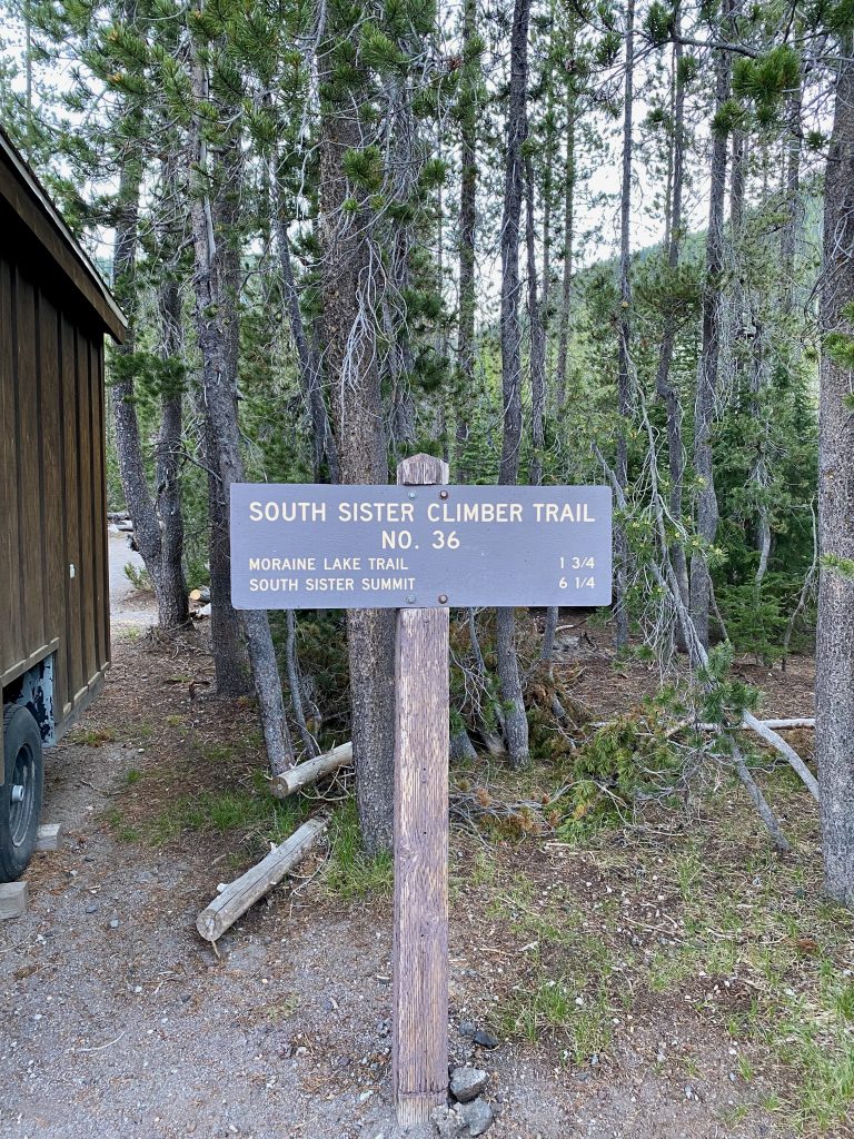
Trail head sign 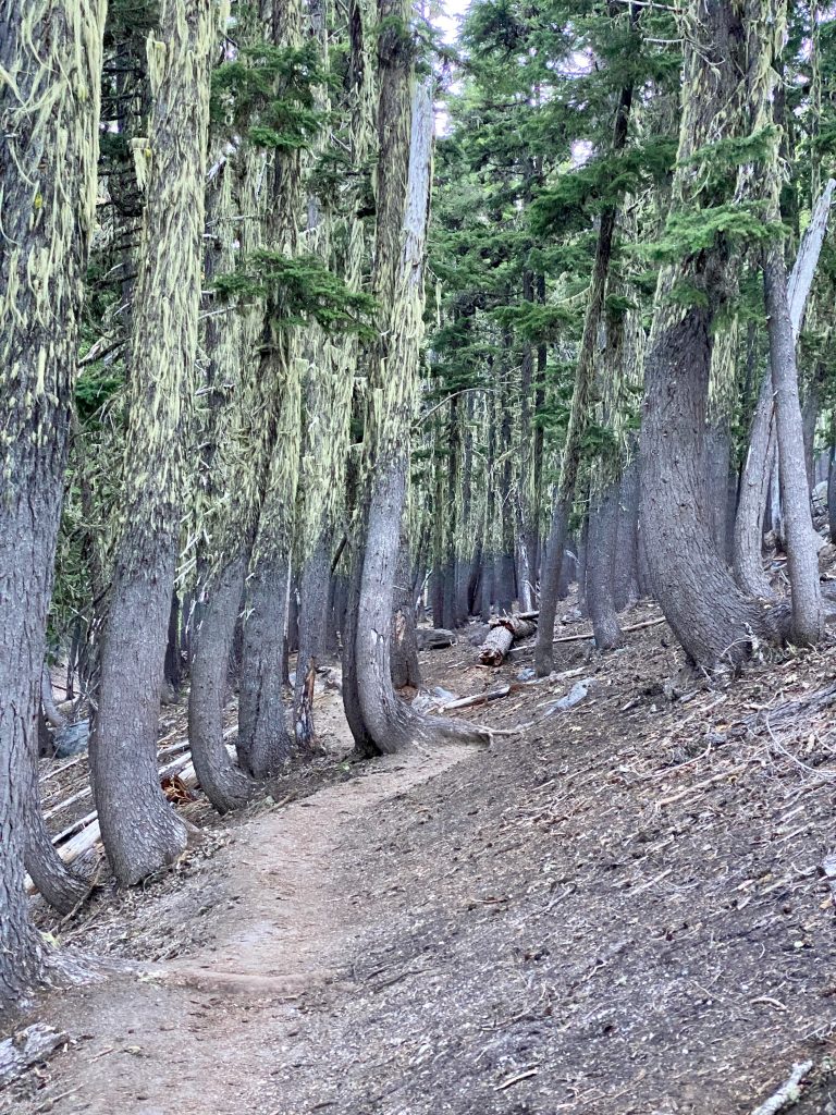
The first part of the trail is through a forested area. You can see the high snow line where the moss begins on the trees. The mesquites in this part of the hike were really bad. 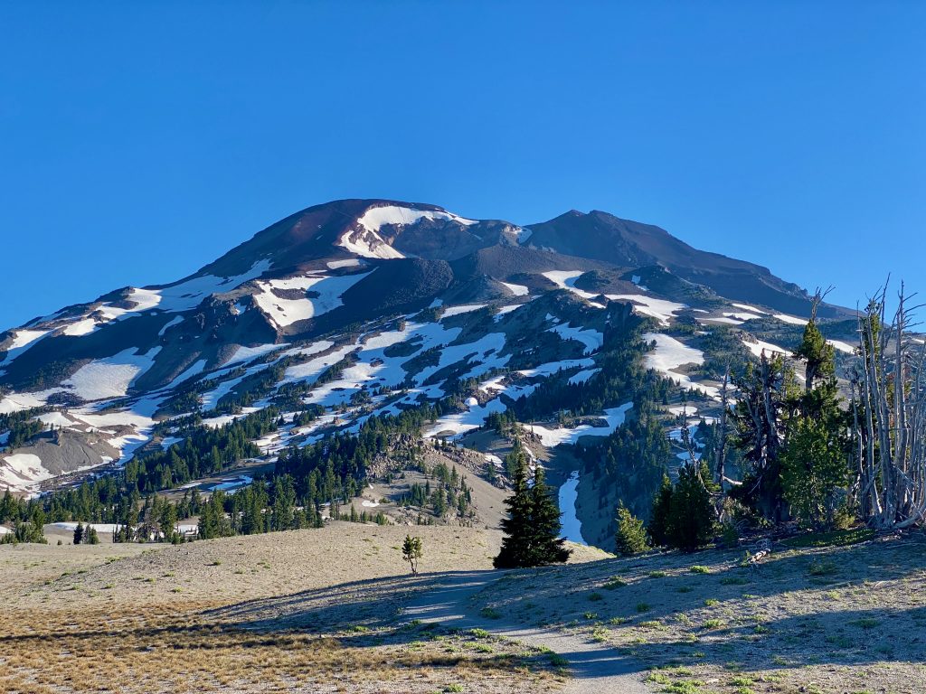
Past the forest you come out into a 1.5 mile long section of grass and a few trees. South Sisters in view the whole way. 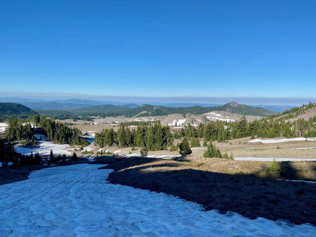
The climb up begins. Lots of little snow fields in the beginning. 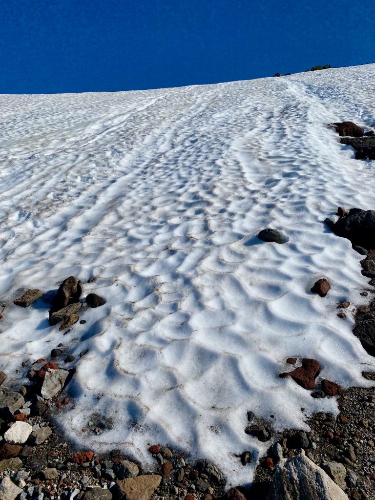
Oh dear, how am I going to get up this? One step at a time. 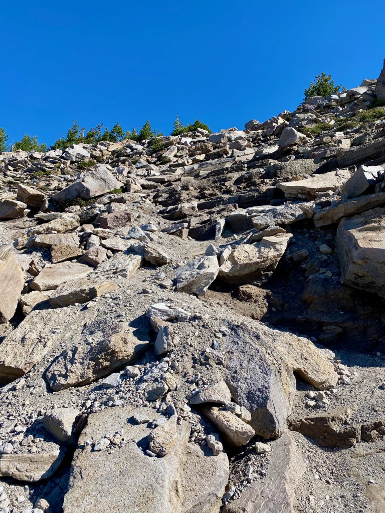
Now the boulder field 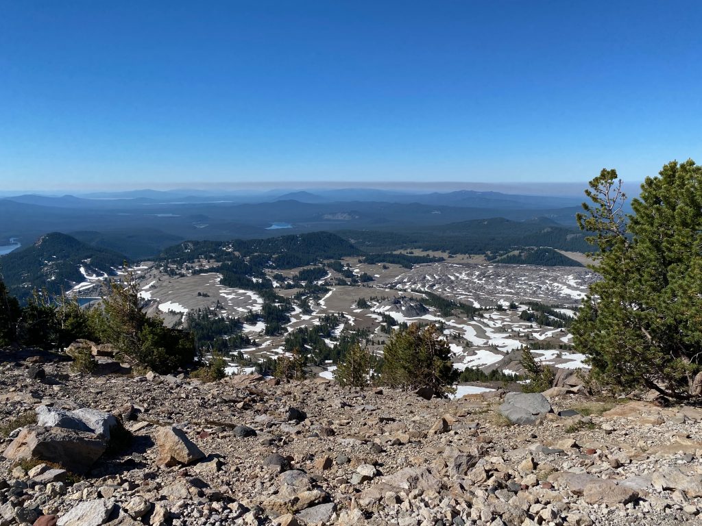
Looking back south . Wild fire smoke in the distance. 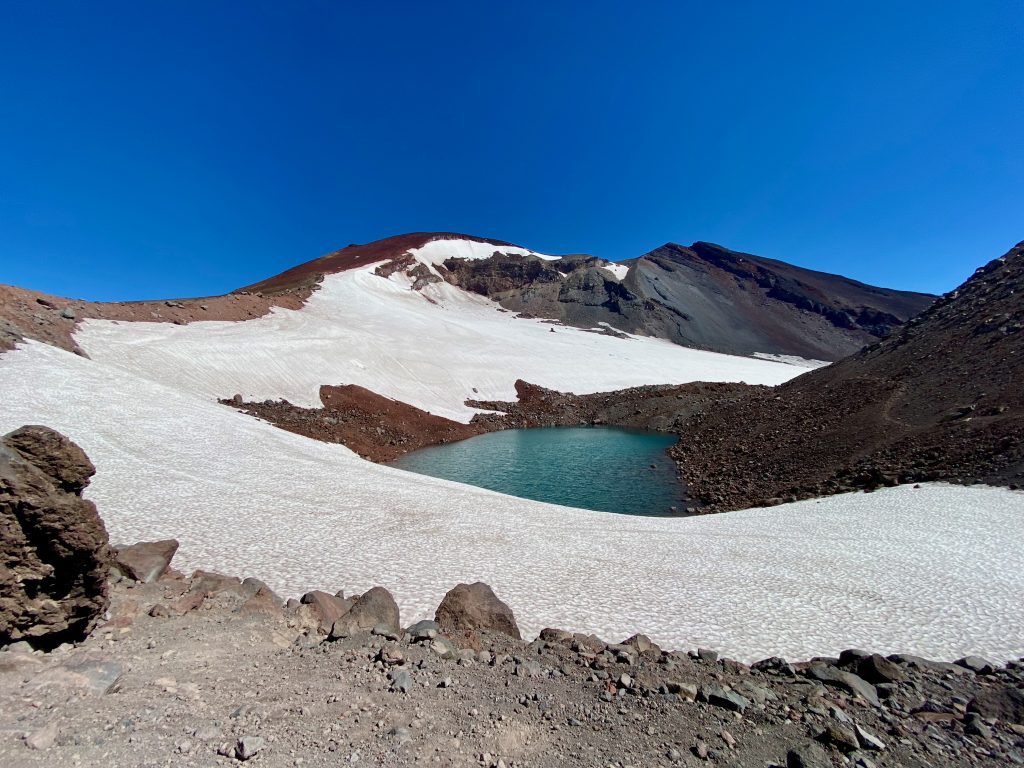
Moraine Lake 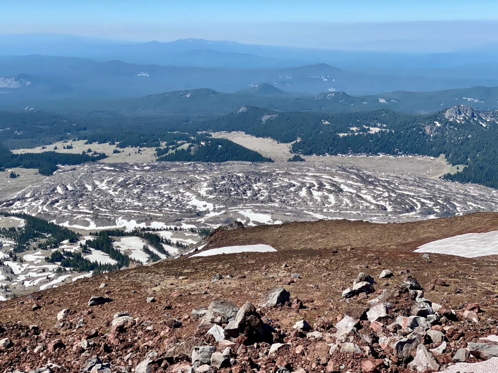
Looking back south towards a lava flow. 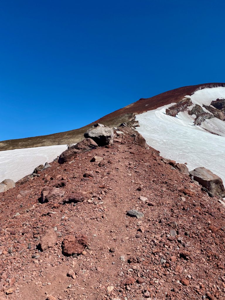
Up this ridge of red volcanic rock and to the summit. Very difficult to walk on because of the loose gravel. It was extremely windy in this part. At this point I’m thinking what have I got myself into. 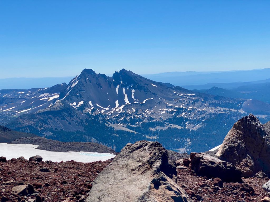
Broken Top mountain to the south east. 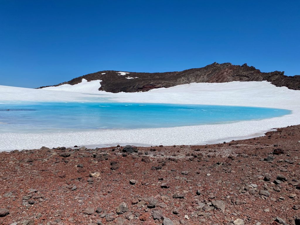
On the summit is Tear Drop pool. The highest lake in Oregon. 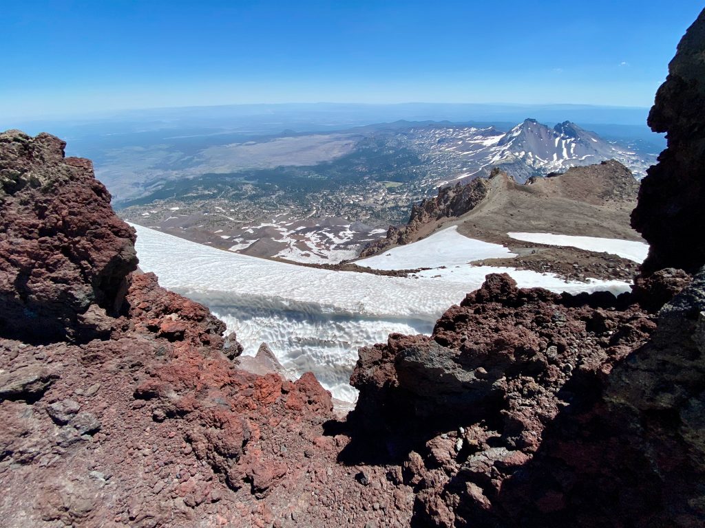
Looking southeast you can see the top edge of the Lewis glacier. 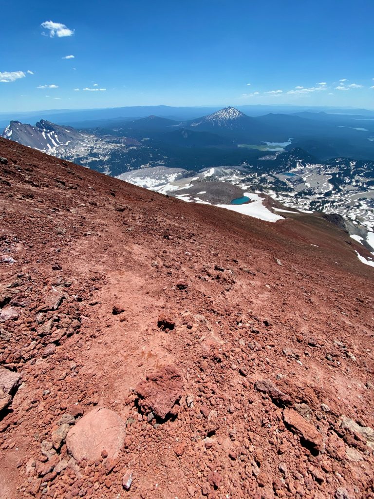
Starting back down. There’s Broken Top and Mt. Bachelor to the south. 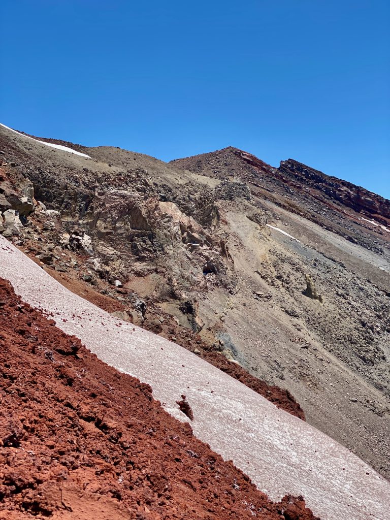
Very interesting rock formation here. Many twisted and deformed layers. 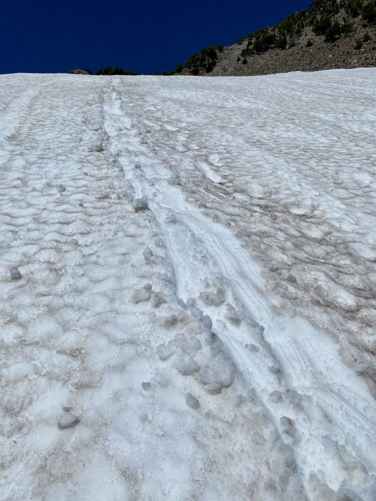
Back down that steep snow field. A controlled slide all the way.